Tropmet.com  
HOME | LOCAL | SATELLITE | RADAR | TROPICS | MARINE | SEVERE | CHASING | PREPARE | ARCHIVES

 
  CHASING | STORM CHASING | STOCK PHOTOGRAPHY & VIDEO | RECENT & POPULAR CHASES  
  Browse storm chasing related product sets, by clicking on a tab below.  


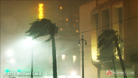
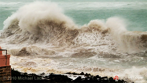
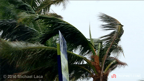
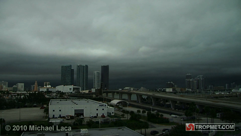
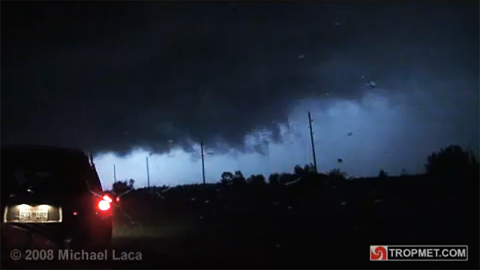
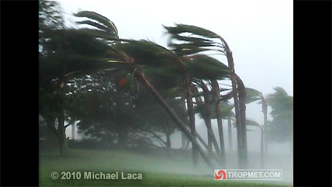
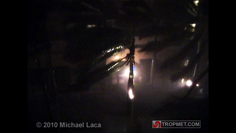
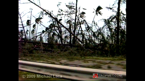
The following are Tropmet.com exclusive storm-chase encounters, documented by veteran storm-chaser Michael Laca. With a chasing career spanning the last 25 years, Michael Laca has intercepted over 40 named tropical cyclones, including some of the most violent and notorious Atlantic storms on record.  Michael's photography and videography has been featured in numerous text-books, magazines, advertisements, television programs, marketing campaigns and other media; including: Weatherwise, The Smithsonian, National Geographic, The BBC, The Weather Channel, Duracell and others. For video or photo usage requests and other media inquiries click the link in each summary below or send an e-mail here.
 
  To view specific videos, photos, and information, click on links in each chase summary below. To view chase summaries by decade, click on a tab.  


Hurricane Katrina - In Coral Gables, Florida  
 

DATE: August 25, 2005
SUMMARY: Prior to devastating portions of the Gulf coast, Katrina made landfall in South Florida as a Category One. Watch as the calm eye moves over followed by  winds gusting to 100-105mph. Amazing power line arcing and explosions.

  WATCH THE CHASE VIDEO
VIEW THE CHASE PHOTO GALLERY
READ THE CHASE LOG
GO TO THE HURRICANE KATRINA ARCHIVE
VIDEO USAGE AND MEDIA REQUESTS
 
     
Hurricane Rita - In Key West, Florida  
 

DATE: September 19-20, 2005
SUMMARY: Rita moved into the Florida Straits as a tropical storm and began to strengthen rapidly. Passing about 40 miles south of Key West, watch as Rita's winds gust to near 100mph and a 2-3ft storm surge inundates the south coast of the island.

  WATCH THE CHASE VIDEO
VIEW THE CHASE PHOTO GALLERY
READ THE CHASE LOG
GO TO THE HURRICANE RITA ARCHIVE
VIDEO USAGE AND MEDIA REQUESTS
 
     
Hurricane Wilma - In Belle Meade, Florida  
 

DATE: October 24, 2005
SUMMARY: After becoming the most intense Atlantic hurricane on record, Wilma moved over the Yucatan and accelerated over South Florida. Watch as Wilma rakes the Southwest Florida coast with 100-120mph winds. Intense power transformer explosions.

  WATCH THE CHASE VIDEO
VIEW THE CHASE PHOTO GALLERY
READ THE CHASE LOG
GO TO THE HURRICANE WILMA ARCHIVE
VIDEO USAGE AND MEDIA REQUESTS
 
     
Hurricane Hugo - In Luquillo, Puerto Rico  
 

DATE: September 17-18, 1989
SUMMARY: One of the most infamous Atlantic hurricanes, Hugo tore through the Northeast Caribbean before slamming into South Carolina. Watch one of the most dramatic hurricane videos ever recorded, as extreme winds of 140-160mph shred the town of Luquillo, Puerto Rico.

  WATCH THE CHASE VIDEO
VIEW THE CHASE PHOTO GALLERY
READ THE CHASE LOG
GO TO THE HURRICANE HUGO ARCHIVE
VIDEO USAGE AND MEDIA REQUESTS
 
     
Hurricane Andrew - In Coconut Grove, Florida  
 

DATE: August 24, 1992
SUMMARY: Hurricane Andrew is one of only three Category Five hurricanes to make landfall in the U.S. Watch as winds of 130-150mph rip through Coconut Grove, Florida, south of Miami, in the pre-dawn hours of August 24, 1992.

  WATCH THE CHASE VIDEO
VIEW THE CHASE PHOTO GALLERY
READ THE CHASE LOG
GO TO THE HURRICANE ANDREW ARCHIVE
VIDEO USAGE AND MEDIA REQUESTS
 
     
Hurricane Opal - In Fort Walton Beach, Florida  
 

DATE: October 4, 1995
SUMMARY: After nearing Category Five strength, Opal weakened to a Category Three before making landfall in the Florida panhandle. Watch as 110-120mph winds and a 13ft storm surge engulf the coastal community of Fort Walton Beach, Florida.

  WATCH THE CHASE VIDEO
VIEW THE CHASE PHOTO GALLERY
READ THE CHASE LOG
GO TO THE HURRICANE OPAL ARCHIVE
VIDEO USAGE AND MEDIA REQUESTS


  All videos and photographs © Michael Laca. Unauthorized use or duplication of any material, without prior written consent is strictly prohibited.  
 
ABOUT US | LEGAL | PRIVACY | CONTACT US © 2008 MICHAEL LACA